Letter from a Bellwether


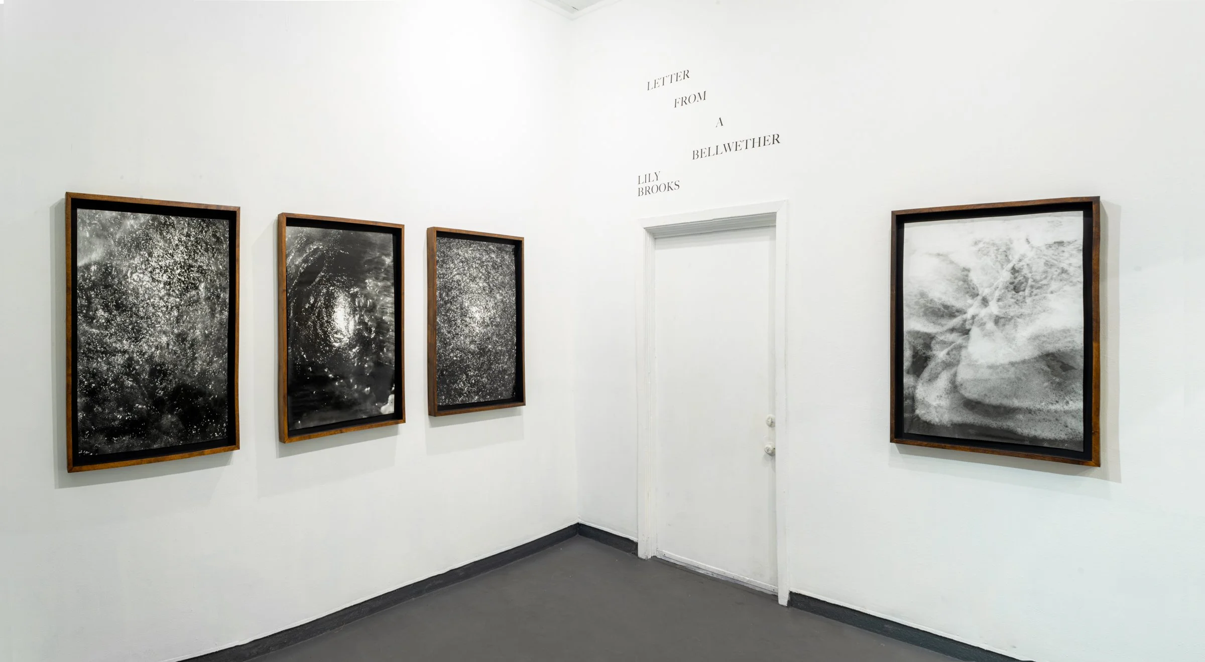

Letter from a Bellwether
All along the white beach up and down, there was no living thing in sight. A bird with a broken wing was beating the air above, reeling, fluttering, circling disabled down, down to the water.
Kate Chopin, The Awakening, 1899
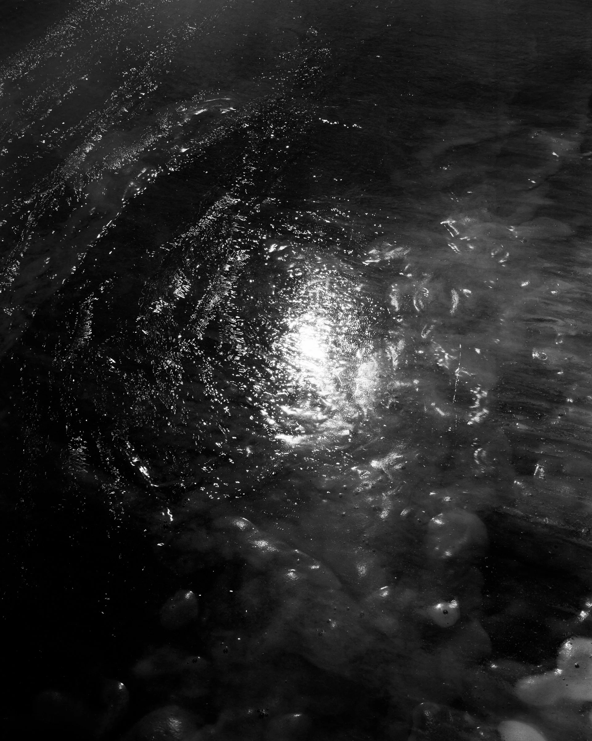
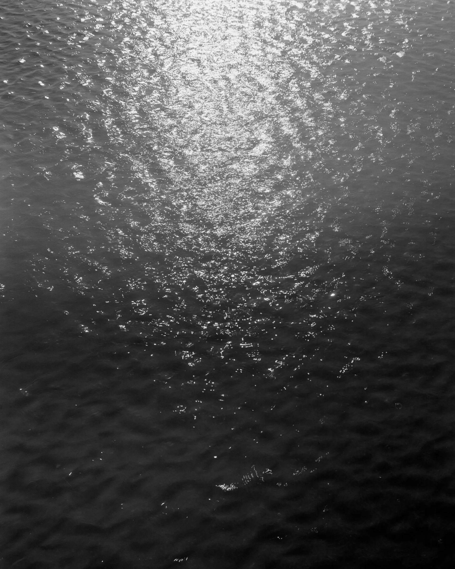
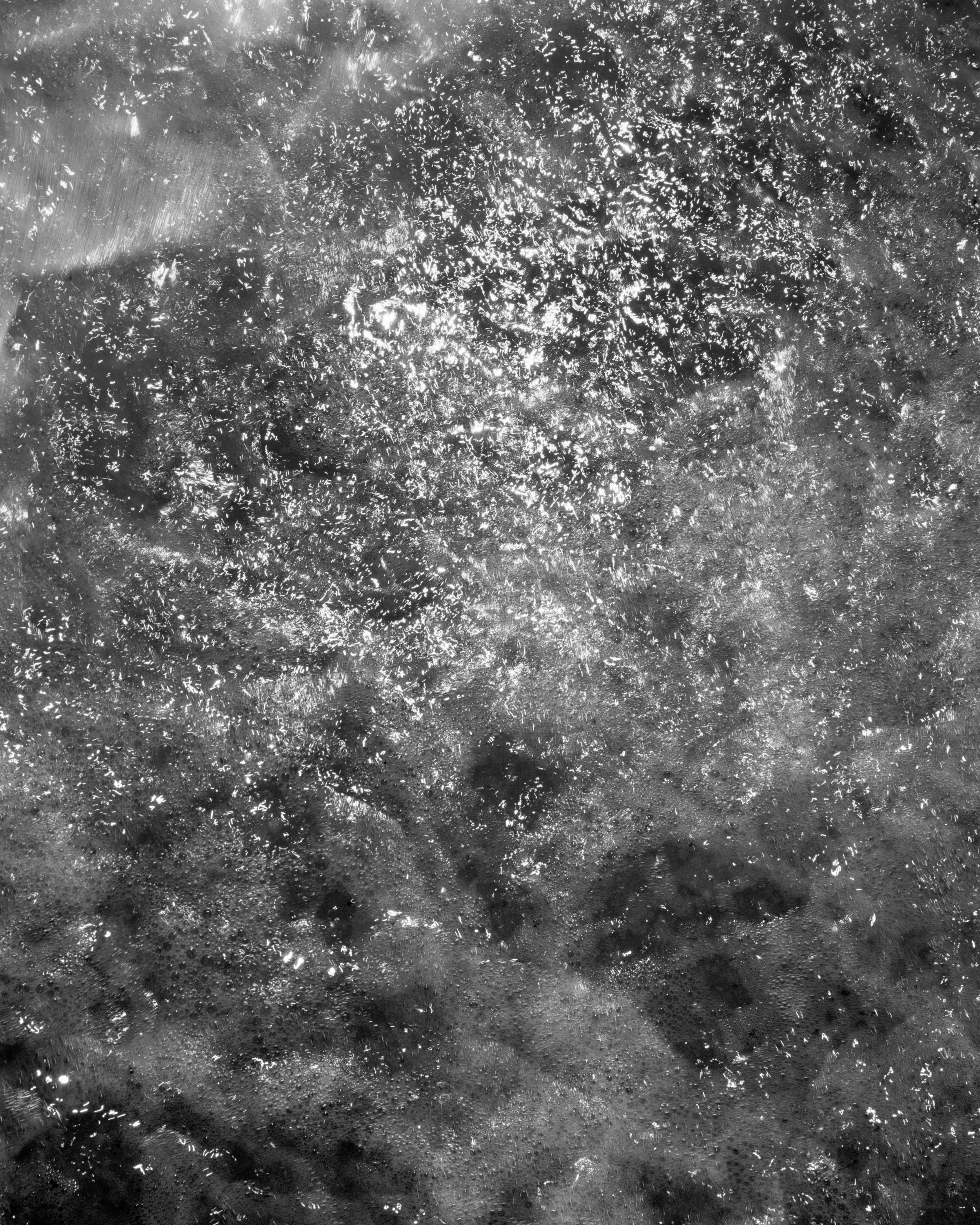
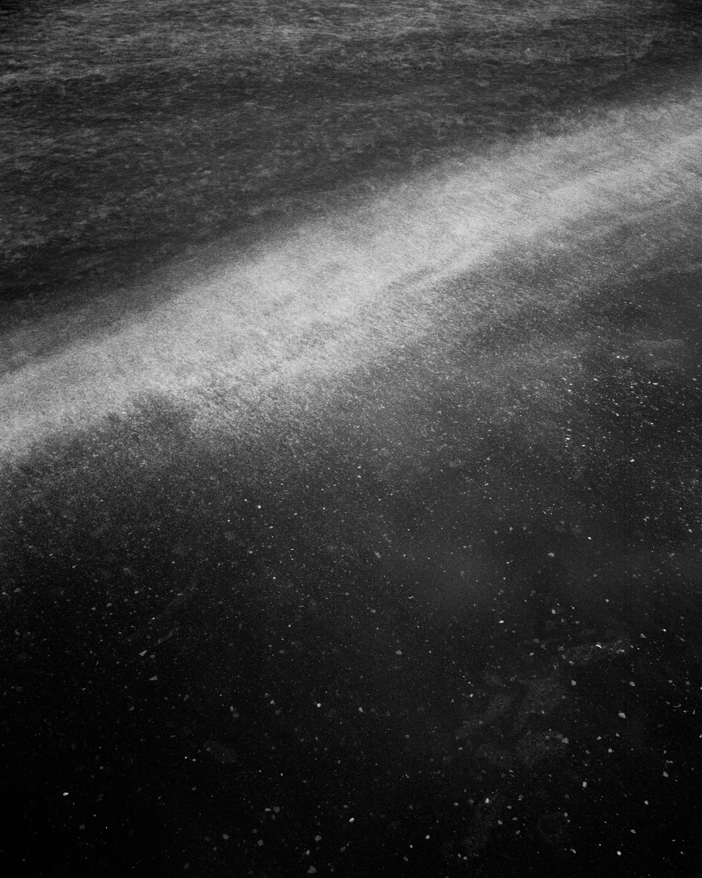
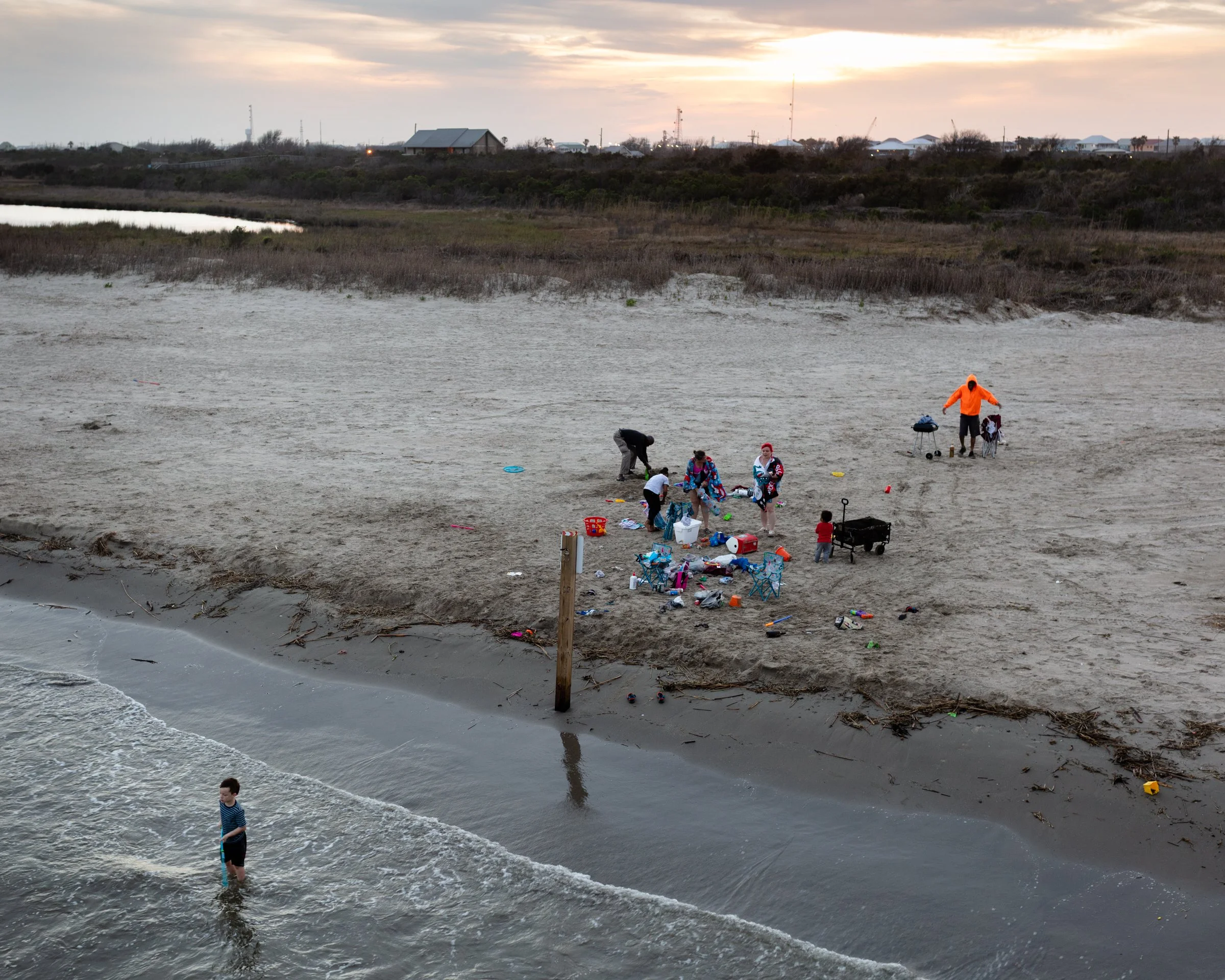
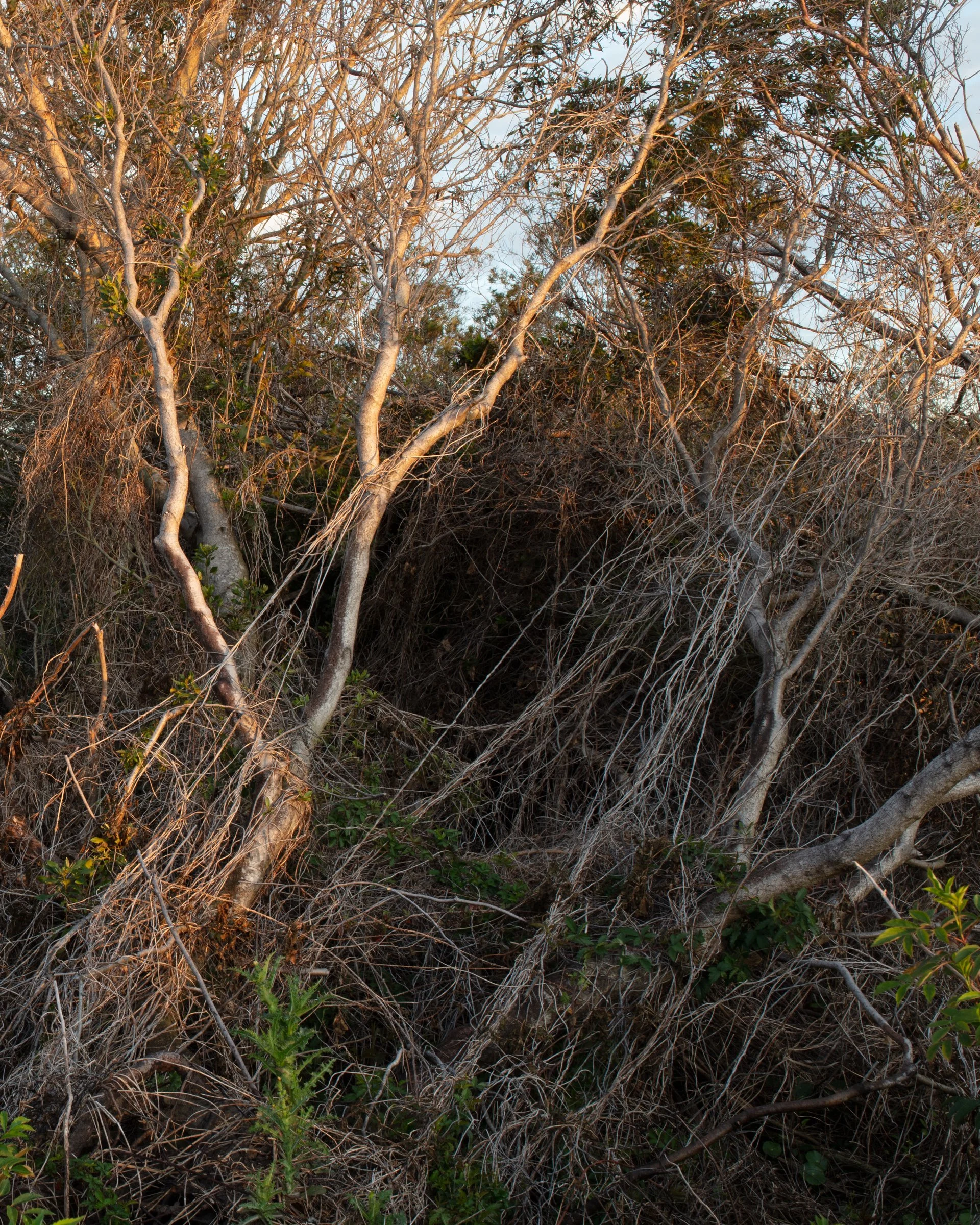
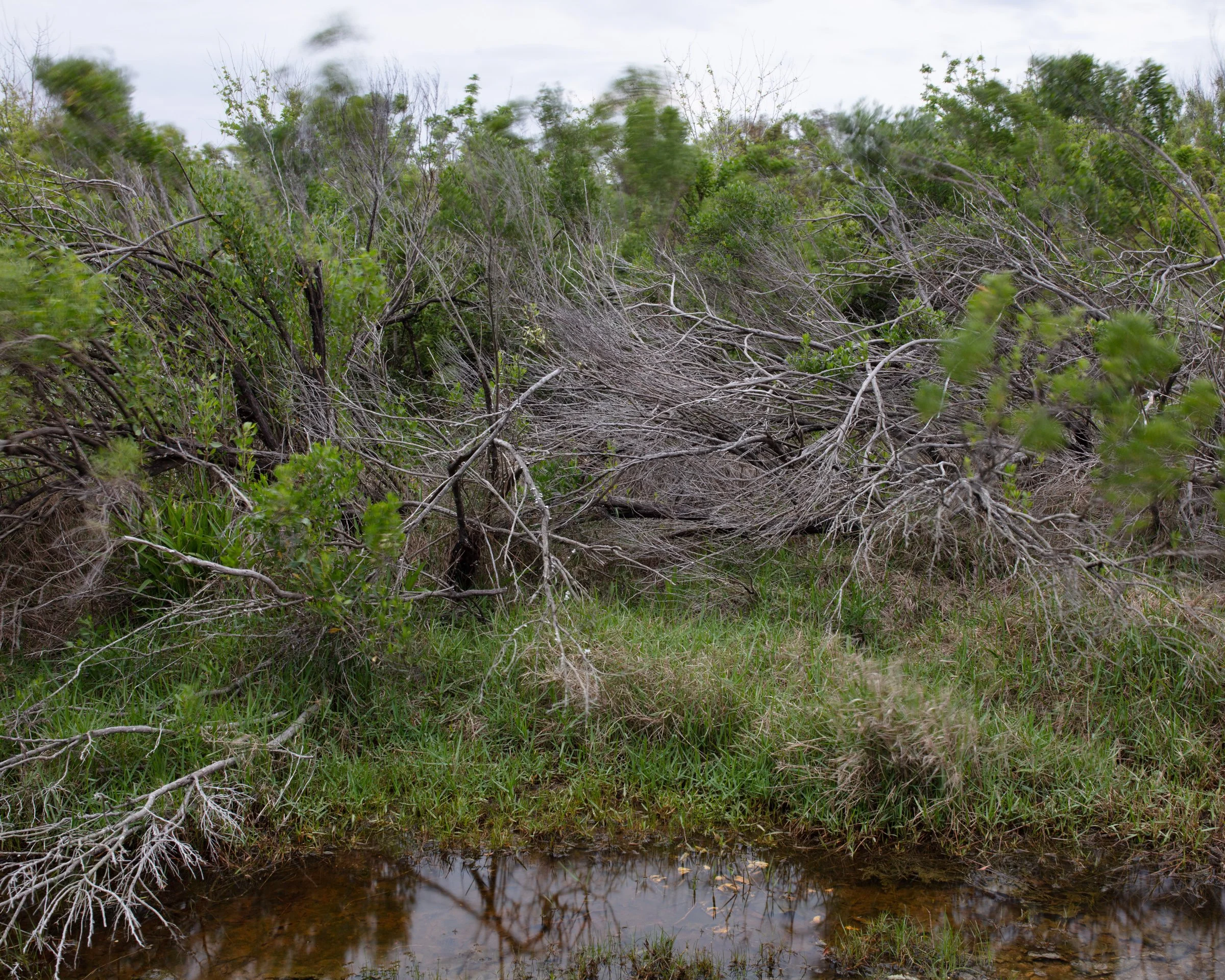
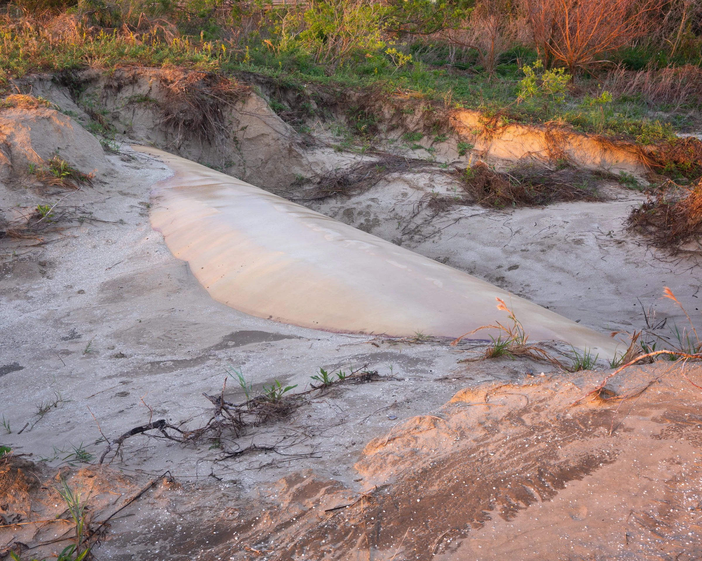
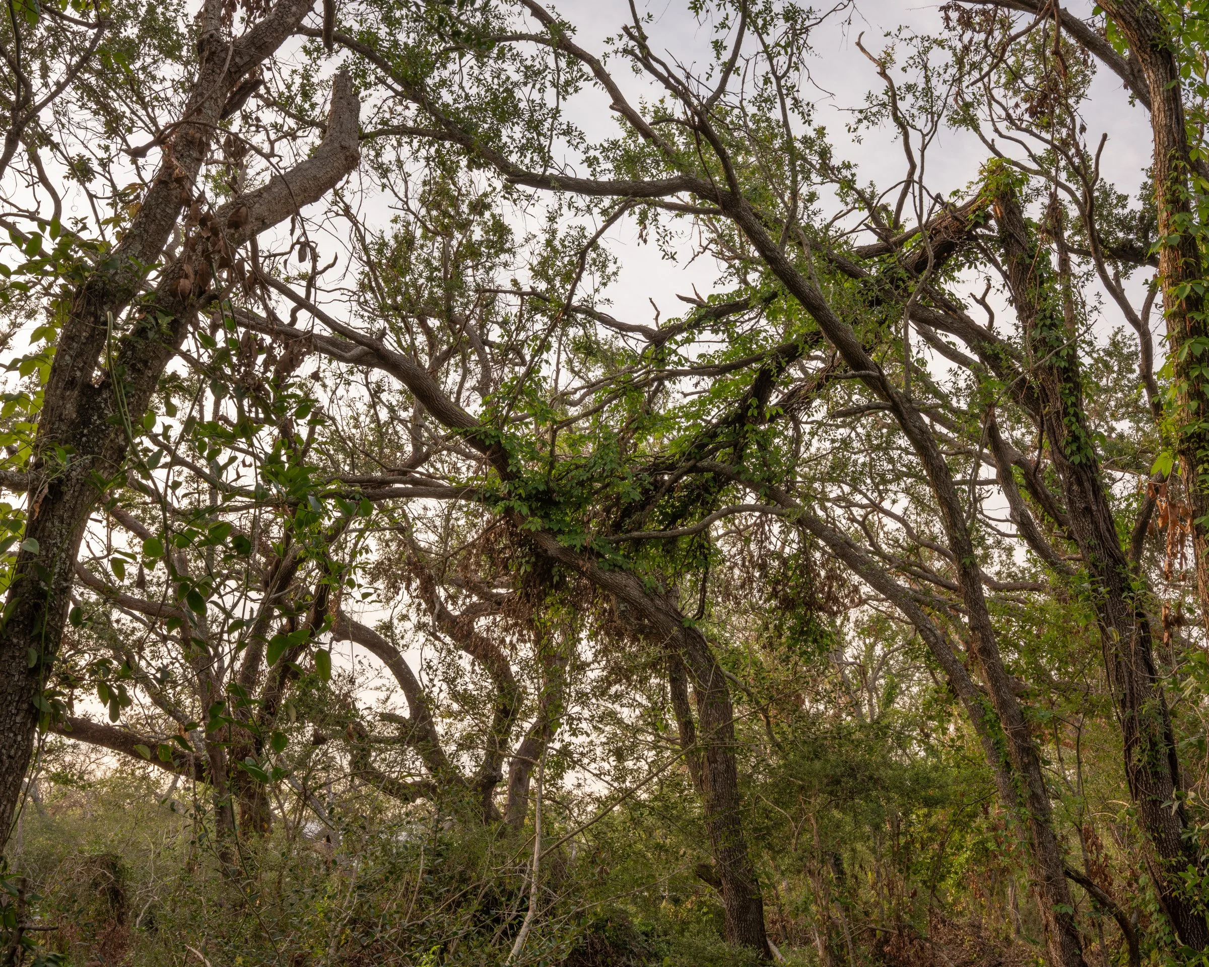
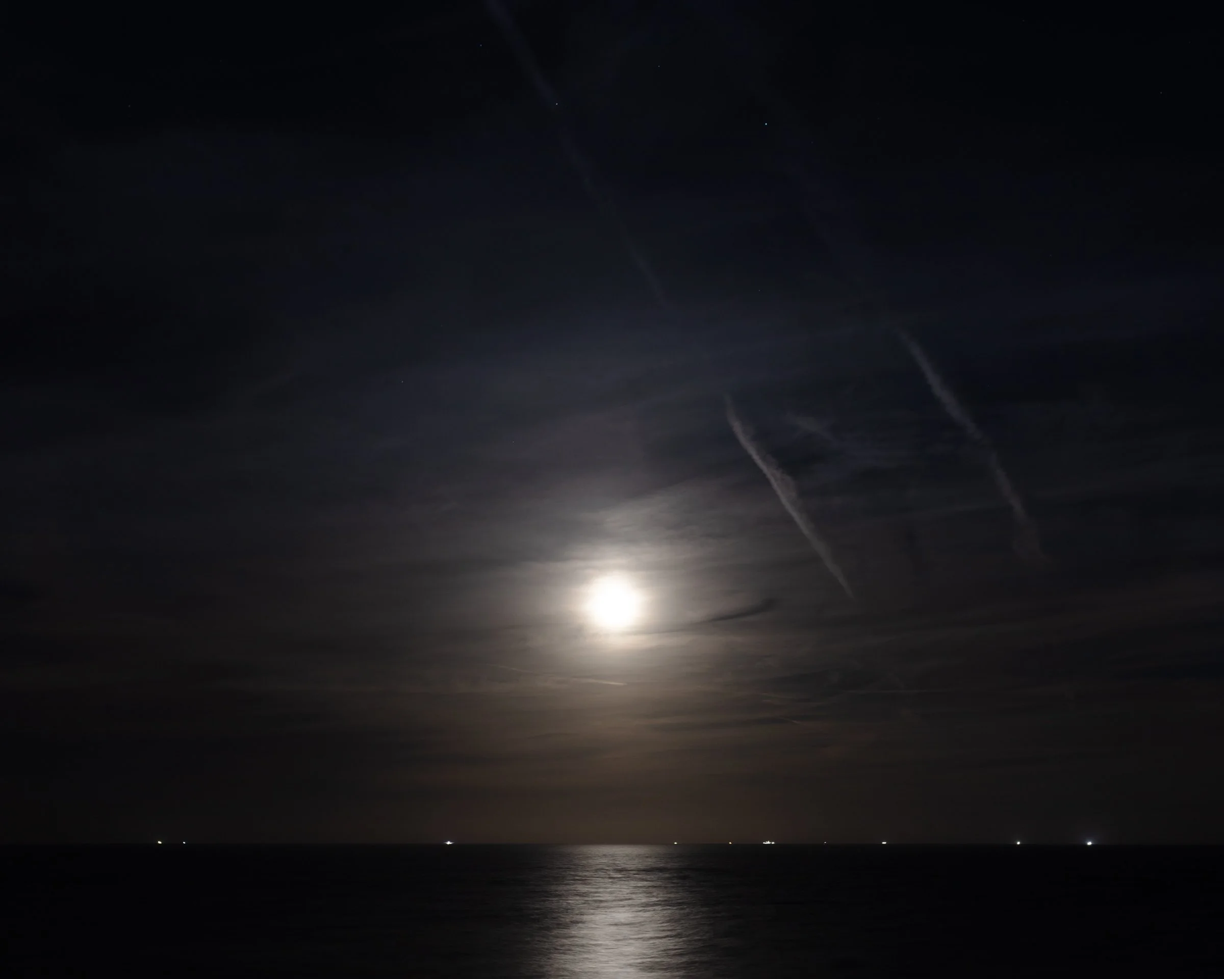
The only inhabited barrier island in Louisiana, Grand Isle sits as a delicate spit of land on the Gulf of Mexico. Threatened by sea level rise and hurricane damage, the island continues to diminish as does the rest of the state’s coastline. An essential stop for migratory birds, nestled between miles of salt marsh and petrochemical infrastructure, the island holds on – a vulnerable, wildly beautiful, singular place. More than one hundred years ago, Kate Chopin located her proto-feminist novel The Awakening in this landscape. Desperate for self-determination, Chopin’s protagonist makes a choice to escape the limitations of Victorian-era motherhood, slipping into the Gulf.
Looking into this same water, I simultaneously render and abstract sunlight, waves and sand, staggering my exposures. We all know the fate of this shoreline: its critical ecological habitat, the livelihoods, culture and history of a community–they will also be swallowed by the sea.
What happens when a place is erased? What about a woman? And who will we hold accountable for this loss?
—
Made in 2021 before and after Hurricane Ida and in the years since, these images stem from collaboration with the artist Kate Greene of Rockland, ME (2018-2021). Mural prints were produced in 2023+2025. This work was made with the support from the Edward G. Schlieder Educational Foundation.